
SEI Adds Drones to Remote Sensing Services
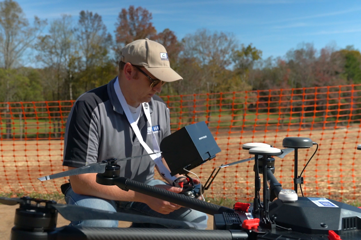
In an effort to continue our mission in providing innovative solutions for our clients, we have added Unmanned Aerial Vehicles (UAVs) to our Technology arsenal. The services we offer with our drones can be used in many applications spanning civil, transportation, traffic, aviation, and surveying projects.
Our fleet includes a DJI Matrice M600 Pro equipped with a Snoopy L1/L2 PPK INS System for Aerial LiDAR and a DJI Phantom 4 Pro V2 for Aerial Photogrammetry. We have two in-house FAA-licensed pilots to fly the drones.
Work with us to find a custom solution for your project with our expertise.
GDOT Qualified Area Classes
We are a GDOT certified DBE and City of Atlanta FBE. We are a GDOT Pre-Qualified Consultant in the areas utilizing UAVs: ![]()
5.01 Land Surveying
5.02 Engineering Surveying
5.03 Geodetic surveying
5.04 Aerial Photography
5.05 Aerial Photogrammetry
5.06 Topographic Remote Sensing
5.07 Cartography