City of Sandy Springs: Morgan Falls Road
Service Details
Surveying
Route surveying performed in preparation of Base Map for design of roadway and pedestrian improvement project. SEI obtained right of way plans, deeds, plats and other pertinent information for project planning and for future right of way resolution. SEI utilized survey grade GPS units to establish survey control throughout each route for Vertical (MSL) and horizontal control. These control points were confirmed for accuracy by running a level loop on each route. A robotic total station and total station were utilized to gather the data required for the Base Map. These include; topography, creeks, streams or ditches, storm water and sanitary sewer pipes and associated structures, curb, gutter, pavement, striping, traffic control devices, all above ground visible utilities, property corners, right of way markers and any unusual features. Information gathered was then processed and verified for accuracy, imported into CAD format. Analysis on the right of way was performed and resolved. The Base Map was then provided in Microstation format for our Transportation Department to begin conceptual design.
 Transportation Engineering
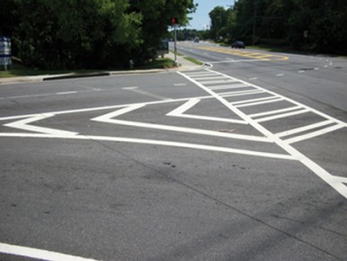
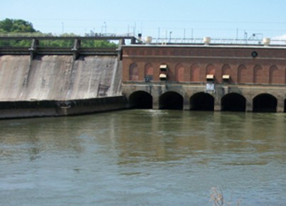
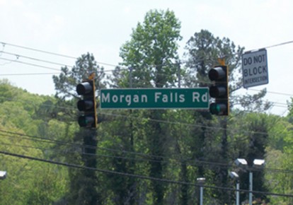
This project involved the planning and engineering necessary to widen Morgan Falls Road to provide roadway improvements, pedestrian and bicycle facilities from Roswell Road to the Chattahoochee River and Sandy Springs’ new Overlook Park. Total project length is approximately 1.2 miles. Multijurisdictional coordination required from ARC, FEMA, Fulton County, EPD solid waste division, EPD Watershed Protection, USACOE, Colonial Pipeline, Georgia Power Hydroelectric Power Generation and the city of Sandy Springs.
In addition, concept plans were prepared for evaluation and approval by primary stakeholder, GA Power, to add a park loop road through and around GPC facilities adjacent to the river that would provide recreational enhancement.
 Environmental Engineering
The redesign of Morgan Falls Road was complicated by several environmental issues therefore environmental screening, coordination and documentation began early with the appropriate regulatory agencies. Although this is a locally funded project, SEI completed coordination procedures typically used when performing National Environmental Policy Act (“NEPA”) and Georgia Environmental Policy Act (“GEPA”) regulatory coordination. The entire segment of Morgan Falls Road under redesign falls within the Atlanta Regional Commission (ARC) purview of vulnerability categories as it is within the 2000’ corridor of the Chattahoochee River. In addition, 1800 lf of the roadway is immediately adjacent to the now decommissioned Morgan Falls Landfill owned and monitored by Fulton County. Finally, many water features are within the affected project area. SEI worked extensively with the EPD, USCOE, Fulton County and Sandy Springs staff to overcome these obstacles.
 Through coordination with Fulton County and EPD Solid Waste Division, SEI prepared the necessary D&O plans and received approval of a Minor Modification to the Solid Waste Handling Permit for the purposes of improving Morgan Falls Road as it affects landfill property. SEI also performed a delineation of waters of the State and U.S. and received concurrence from the USCO
E, EPD and the City of Sandy Springs. ARC coordination was performed and complicated due to the wide spread occurrence of two of the most highly restricted vulnerability zones within the corridor.

